Farmers In Germany Ready To Embrace Agrivoltaics
New research finds farmers in Germany are receptive to making agrivoltaics part of their operations if policy makers will get out of the way.

New research finds farmers in Germany are receptive to making agrivoltaics part of their operations if policy makers will get out of the way.
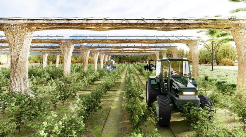
A new eye-pleasing, biobased agrivoltaic racking system combines performance, functionality, and circularity.

As the world looks for sustainable solutions, a system tapping into NASA satellite data for water management has passed a critical test. Called OpenET, the system uses an ensemble of six satellite-driven models that harness publicly available data from the Landsat program to calculate evapotranspiration (ET)—the movement of water vapor … [continued]
A new agrivoltaic project aims to enlist bifacial solar panels and saffron in the effort to save small farms with new specialty crops.

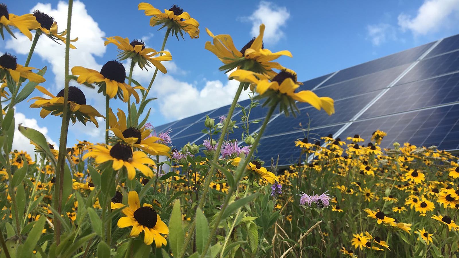
Rural solar advocates are punching back against the opposition with a new alliance between conservation, agriculture, and environmental organizations.
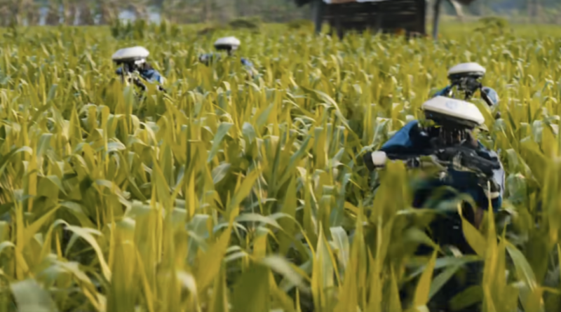
The spectacular new movie The Creator depicts a world run amok in AI, but the real-world field of agriculture tells a different story.
Agrivoltaics supporters and emerging farmers join forces with member-owned rural electric cooperatives to push for dual use farmland.
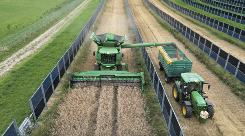
Researchers at Purdue University have patented an agrivoltaic array with solar panels that tilt for farm equipment to pass through.
Private investors, public funding, and agrivoltaics are all converging on regenerative agriculture like a thousand points of light.
As a part of the Consolidated Appropriations Package passed in 2022, Congress directed the National Academies of Sciences, Engineering, and Medicine (NASEM) to investigate the links between human health and soil health, looking into how soil management practices that support healthy soils influence the nutritional content of foods and affect … [continued]