100 Gigawatts Of CdTe Thin Film Solar By 2030, But How To Get There?
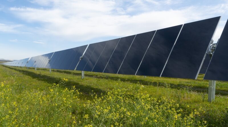
The CdTe thin film solar manufacturing industry has an opportunity to grow to 100 gigawatts per year in the US as soon as 2030, according to an US industry-academic research team.

The CdTe thin film solar manufacturing industry has an opportunity to grow to 100 gigawatts per year in the US as soon as 2030, according to an US industry-academic research team.
Designating Metallurgical Coal as Critical is a Handout to Foreign Competitors and Coal Barons WASHINGTON, DC — Today, the US Geological Survey (USGS) added metallurgical coal to a list of “critical minerals,” which could allow the Trump administration to steamroll bedrock environmental laws to boost coke production and widen the devastation … [continued]
 A Massive trove of untapped geothermal energy lies below the surface of the US, within reach of new drilling technologies borrowed from the oil and gas industry.
A Massive trove of untapped geothermal energy lies below the surface of the US, within reach of new drilling technologies borrowed from the oil and gas industry.
 Map of study area showing the Marcellus shale extent, well locations using in decline curve analysis (DCA), PW samples used in this study, and previous USGS sample locations. Lithium (Li) concentration data was calculated using new data reported in this manuscript and existing data from the USGS National Produced Waters Database13. This map was generated with ArcGIS Pro 3.1.4 software, ESRI, https://www.esri.com/en-us/arcgis/products/arcgis-pro/overview. Sources of data cited on this map include: “data.pa.gov, ESRI, HERE, Garmin, FAO, NOAA, USGS, EPA and NPS.”
Most batteries used in technology like smart watches and electric cars are made with lithium that travels across the world before even getting to manufacturers. But what if nearly half of the lithium used in the U.S. could come from Pennsylvania wastewater? A new analysis using compliance data from the … [continued]
Draining aquifers is causing land along the East Coast of the United States to sink, making the threat from rising sea levels more acute.
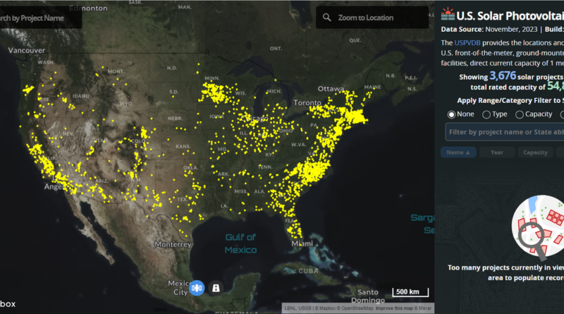
The U.S. Geological Survey (USGS) and the U.S. Department of Energy’s (DOE) Lawrence Berkeley National Laboratory (LBNL) released the largest and most comprehensive database to date on large-scale solar energy projects in the United States. The U.S. Large-Scale Solar Photovoltaic Database (USPVDB) includes the location, size, and other characteristics of … [continued]
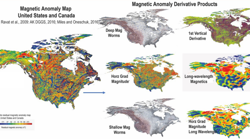
The U.S. Geological Survey (USGS) has released a compilation of national-scale geological, geophysical and mineral resource datasets from Australia, Canada and the US through a collaboration between the three countries’ federal geological surveys. “Geology doesn’t stop at the border and neither does our data,” said USGS scientist Anne McCafferty, who … [continued]
The U.S. Geological Survey will invest more than $5.8 million to map critical-mineral resources in Alaska in partnership with the Alaska Division of Geological & Geophysical Surveys. This partnership is a key step in securing a reliable and sustainable supply of the critical minerals that are essential to everything from … [continued]
Golden eagles, like many raptors, know how to take the path of least resistance. When they spread their wings and take to the skies, they typically look for updrafts (upward pushes of air) to assist their flight, letting them soar to greater altitudes without expending much energy. However, those updrafts … [continued]
Bat Appreciation Day is April 17, and as we pause to admire these unique creatures, we also recognize that bats face many threats, including increased deployment of wind energy. However, with support from the U.S. Department of Energy’s Wind Energy Technologies Office, researchers at the National Renewable Energy Laboratory (NREL) … [continued]