National Oceanic and Atmospheric Administration (NOAA)

ChatGPT generated panoramic image of Two diverging roads: One road lush with greenery, clean air, and renewable energy sources like wind turbines, while the other is cracked, barren, with smoke plumes rising from fossil fuel plants.

How To Flip Marketing That Promotes A False “Future Of Energy” Vision

To avoid the worst impacts of climate change, emissions need to be reduced by almost half by 2030 and to reach net zero by 2050. The future of energy must focus on renewables. A clean energy transition is powerful and necessary to stabilize the planet, and strong leadership to promote … [continued]

Photo by Carolyn Fortuna/ CleanTechnica

Why Is The Sea Level Rise Higher In The Southeast Than In Other Parts Of…

Did you know that the first water level observing stations were established in the 1850s? Even back then sea level rise was important to monitor. Alexander Dallas Bache, second superintendent of the coast survey, explained in 1854, “It seems a very simple task to make correct tidal observations; but in … [continued]

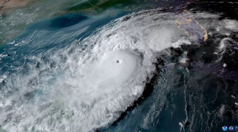
EV charging data and anecdotal evidence both indicate that charging up an EV was easier than filling up a gas tank in Florida before and after Hurricane Milton made landfall. Photo courtesy of NOAA.

States Can & Should Save Climate Research & Weather Service

It’s no secret that the incoming second Trump administration has it out for the National Oceanic and Atmospheric Administration (NOAA). The obvious beef there is that the agency does a lot of research into climate change. Finding and sharing truth about that topic isn’t great for oil companies, so the … [continued]

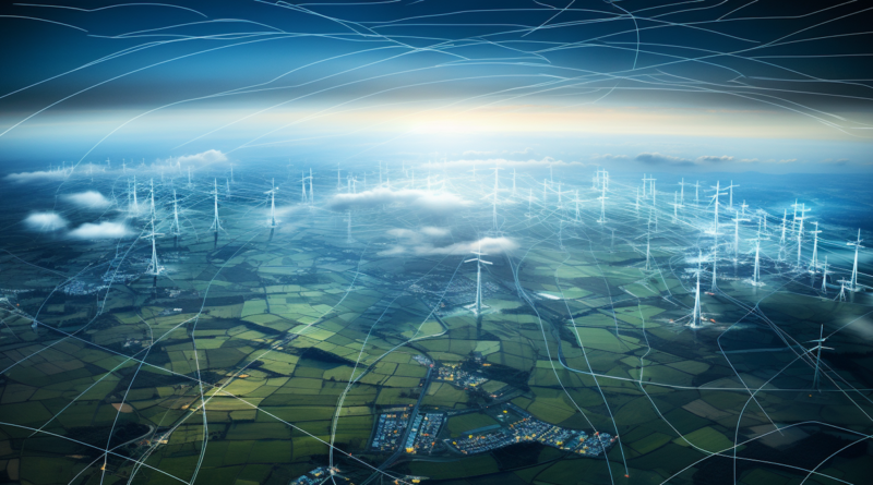
Midjourney-generated image of a bird's eye view of transmission grid.

Be Prepared: New Resource Readies States & Utilities for Grid Resilience Events

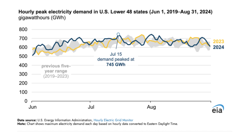
Society is increasingly dependent on electricity for essential services. The Energy Information Administration (Short Term Energy Outlook) and many utilities are projecting surging electricity demand from data centers and new manufacturing facilities, leading to expected all-time highs in nationwide electricity consumption. To effectively serve growing power needs, electricity grids must … [continued]

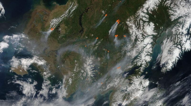
A NASA satellite image from June 8, 2022, reflects smoke and red “hot spots” of wildfire resulting from more than a dozen active fires in southwest Alaska, as the largest tundra fire on record at the time burned hundreds of thousands of acres in the Yukon Delta. Source: NASA MODIS

Biden–Harris Admin Advances Early Wildfire Detection by Expanding Use of Satellites as Part of Investing…

A collaborative agreement for use of NOAA satellites will help the Interior and Agriculture Departments detect wildfires early, track wildfires in real time, and provide data for public safety and air quality modeling The Biden–Harris administration yesterday announced it is taking additional steps to safeguard western communities in the face … [continued]

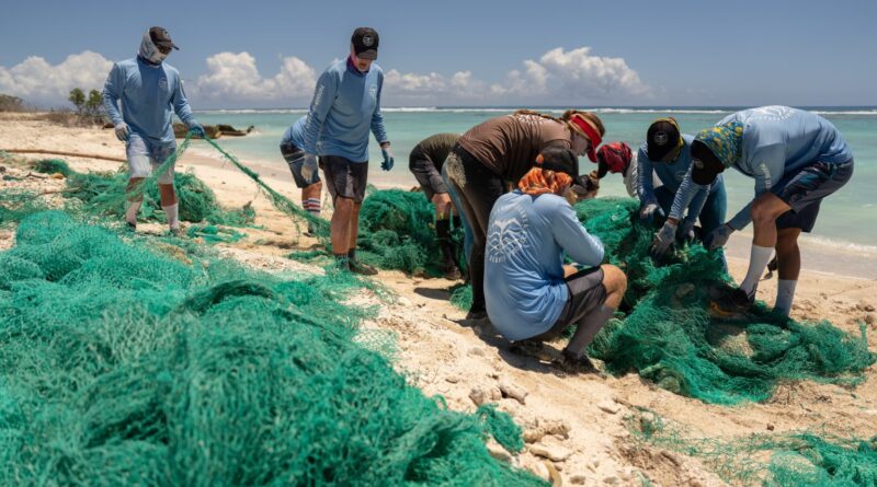
Marine debris technicians from the Papahānaumokuākea Marine Debris Project scour the shoreline of Midway Atoll on April 23, 2024 to remove extensive amounts of marine debris, including discarded nets which can entangle and kill birds, seals, turtles and destroy coral reefs. They harm native seabirds like the Laysan and Black-footed albatrosses, Hawaiian green sea turtles and Hawaiian monk seals. The removal project previously received support from the Bipartisan Infrastructure Law. Image credit: A. Sullivan Haskins/ PMDP Hawaii via NOAA

Biden–Harris Administration Invests $27 Million to Community-Driven Marine Debris Solutions Investing in America Agenda

Today, the Department of Commerce and NOAA announced $27 million in funding for projects to prevent and remove marine debris in coastal and Great Lakes communities as part of President Biden’s Investing in America agenda, under the Bipartisan Infrastructure Law. This funding will support innovative research and foster local coalitions to … [continued]

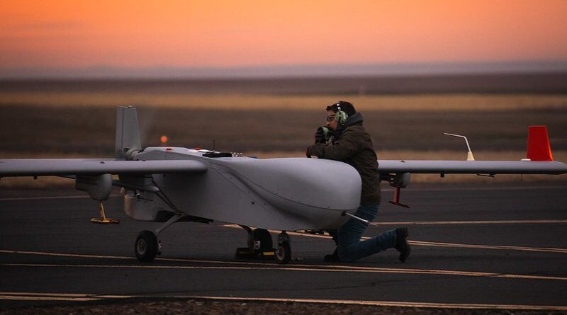
Jonathan Stratman of DOE’s Pacific Northwest National Laboratory examined the ArcticShark UAS as part of the testing at the Pendleton UAS range in Oregon. Image courtesy of Jason Tomlinson, Pacific Northwest National Laboratory, DOE ARM user facility.

Unmanned Aerial Systems Propel Atmospheric Science Forward

High in the sky over an Alaskan tundra, a small aircraft ran the same pattern over and over again. It swooped through clouds and flew down close to the ground. But there were no people experiencing the flight from inside the plane — it was an unmanned aerial system (UAS). … [continued]

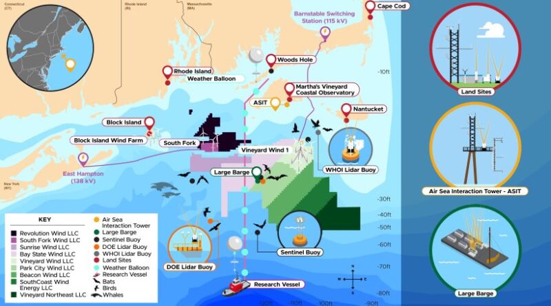
U.S. DOE & Partners Kick Off Groundbreaking Initiative to Improve Accurate Forecasting & Ensure Sustainability…

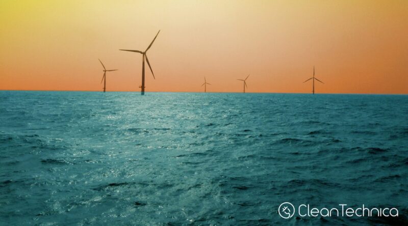
Wind Forecast Improvement Project will Monitor Weather, Ocean, and Wildlife Data Near Active and Proposed Offshore Wind Farms off the East Coast Today, the U.S. Department of Energy (DOE) and the National Oceanic and Atmospheric Administration (NOAA) launched an 18-month initiative to gather extensive weather, ocean, and wildlife data near the sites … [continued]