Studying Ship Tracks To Inform Climate Intervention Decision-Makers
ALBUQUERQUE, N.M. — Scientists from Sandia National Laboratories are studying ship tracks — clouds that reflect sunlight and are formed by moving ships, similar to contrails from planes — to help inform decision-makers of the benefits and risks of one technology being considered to slow climate change.
To understand how these ship tracks move and dissipate, the scientists created a mathematical model of ship tracks and how long they last, which they shared in a paper recently published in the scientific journal Environmental Data Science.
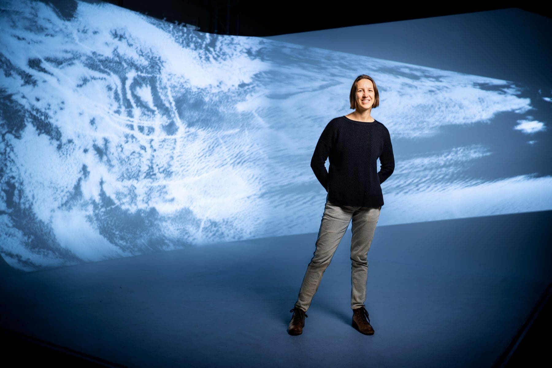
“Ship exhaust is an example of aerosol injections into the lower atmosphere, impacting the local environment, and is a daily occurrence,” said Lyndsay Shand, a Sandia statistician and the project lead. “We’ve been developing analytical tools to understand exhaust impacts on clouds from observational data collected by satellites. For example, we can locate a newly formed ship track and follow its evolution to better understand how it affects the local marine environment over time. We have found ship tracks to persist for more than 24 hours, longer than previously documented.”
Click to watch An animation of marine cloud brightening, a group of technologies under consideration for slowing climate change and its impacts. Scientists from Sandia National Laboratories are studying ship tracks to help inform decision-makers of the benefits and risks of these technologies. (Animation by Bryn Whisenand) Members of the media may download and use the animation for the purpose of news story illustration.)
Forming ocean clouds to slow climate change
Ship tracks are an unintentional example of marine cloud brightening, a group of technologies being considered for slowing climate change and its impacts. Marine cloud brightening works by creating ocean clouds that reflect some sunlight back to space before its heat is absorbed in the atmosphere or by Earth’s surface.
Another, similar group of climate intervention technologies are called stratospheric aerosol or gas injection. This involves adding tiny particles, called aerosols, or gases high into the upper atmosphere, mimicking the effects of a large volcanic eruption, to reflect some sunlight and reduce climate change.
These two groups of technologies have the potential to counteract the effect of greenhouse gases, which work by trapping heat, but could have negative side effects.
Climate scientists, across the nation and around the globe, want to understand how marine cloud brightening and other climate intervention technologies affect both the local and global climate to better inform decision-makers, said Erika Roesler, a Sandia atmospheric scientist heavily involved in the project.
The Sandia researchers hope to understand the potential effects of marine cloud brightening on global precipitation, regional temperature differences and more well before any large-scale experiments are conducted on the planet we all call home, Shand and Roesler said.
Tracking clouds and reducing uncertainty
The focus of Shand’s project was to develop analytical tools to understand the formation and behaviors of ship tracks. The goal was to be able to determine when ship tracks form and how long they last using publicly available satellite images and ship location information.
Ship tracks, formed by water vapor in the air condensing around ships’ emissions, reflect sunlight, Roesler said. Ship tracks have been spotted across the globe, far more frequently than previously thought, providing inexpensive and unintentional experiments for the research team.
“Understanding how aerosols from ships, power plants and other human activities impact the climate is one of the biggest sources of uncertainty in climate models,” Shand said. “If we can better understand those effects, we can reduce the uncertainty in climate models and lead to improved decision-making for policymakers.”
Through this project, the team can now identify and follow a newly formed ship track as it moves with the cloud layer while the ship that produced it continues to move in another direction and form new track segments, Shand said. This is important to better understand the long-term impacts of ship exhaust on the surrounding clouds. This knowledge can help the scientific community to refine and improve climate models, she added.
Satellite images and innovative algorithms
For this study, the researchers used data from the National Oceanic and Atmospheric Administration and NASA’s Geostationary Operational Environmental Satellites. Each satellite takes a snapshot of a fixed region of the Earth every five to 15 minutes. Each pixel in a single snapshot represents a region of 500 meters squared to two square kilometers, or about one-fifth of a square mile to three-quarters of a square mile, Shand said.
Click to watch satellite images of ship tracks form, move and change off the coast of California. Sandia National Laboratories scientists have developed computer algorithms to follow ship tracks and mimic their behavior inside the computer. (Video courtesy Sandia National Laboratories)
The team focused on satellite images from three three-day periods in 2019 of the North Pacific Ocean from Baja California up to Alaska. They have also observed ship tracks in the South Pacific Ocean off the coast of Chile and in the East China Sea from Shanghai to Japan.
“In the paper, we introduced two new algorithms to follow ship track formations,” Shand said. “One algorithm uses observed images, and one algorithm uses physical phenomena, such as known wind speed and direction. Both algorithms allow us to determine how long the ship tracks persist, but the image-based one performs much better for tracks persisting more than eight hours. This enables us to study how the ship exhaust dissipates into the cloud bank and how long it takes to disappear from sight.”
With its new image-based algorithm, the research team was able to follow the behavior of ship tracks for more than 12 hours and sometimes up to 29 hours, Shand said. This is significantly longer than most atmospheric modeling simulations, which study ship tracks for six to eight hours. It’s also longer than most airplane contrails last, created high above where ship tracks form, which can remain visible for up to four to six hours, in the right conditions.
To make such a big performance improvement, the team needed to overcome two key challenges. First, they adapted a motion-tracking algorithm to follow low-forming ship tracks, less than 3,000 feet above the ocean surface. Low clouds are more challenging to track than faster and larger clouds at an altitude above 30,000 feet.
Second, the new algorithm also can follow the tracks through the challenging light changes at sunset and sunrise. “One of the really neat things about this project is that we can follow the track through a full daily cycle,” Shand said.
In addition to following ship tracks, the algorithms should be helpful in studying any future intentional marine cloud brightening experiments. The team is working on making its algorithms available to other researchers.
This project has led to collaborations and conversations with federal and academic researchers, Shand said. The tools developed during this project are being expanded as part of multiple projects that started last year.
“There are risks in doing these kind of climate interventions,” Roesler said. “It is the role of the climate science community to understand these emerging technologies, their risks and benefits, to better inform decision-makers in the future, should climate intervention be necessary to save the planet.”
This research project was funded by Sandia’s Laboratory Directed Research and Development program.
Sandia National Laboratories is a multimission laboratory operated by National Technology and Engineering Solutions of Sandia LLC, a wholly owned subsidiary of Honeywell International Inc., for the U.S. Department of Energy’s National Nuclear Security Administration. Sandia Labs has major research and development responsibilities in nuclear deterrence, global security, defense, energy technologies and economic competitiveness, with main facilities in Albuquerque, New Mexico, and Livermore, California.
Courtesy of Sandia National Laboratories.
Have a tip for CleanTechnica? Want to advertise? Want to suggest a guest for our CleanTech Talk podcast? Contact us here.
Latest CleanTechnica.TV Video

CleanTechnica uses affiliate links. See our policy here.